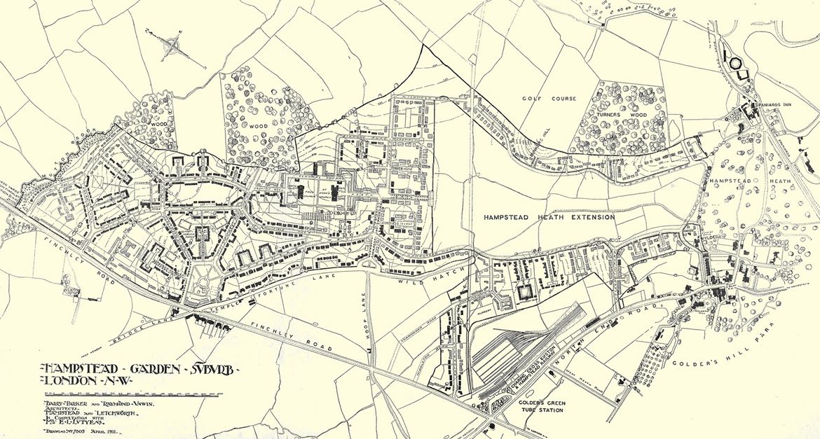
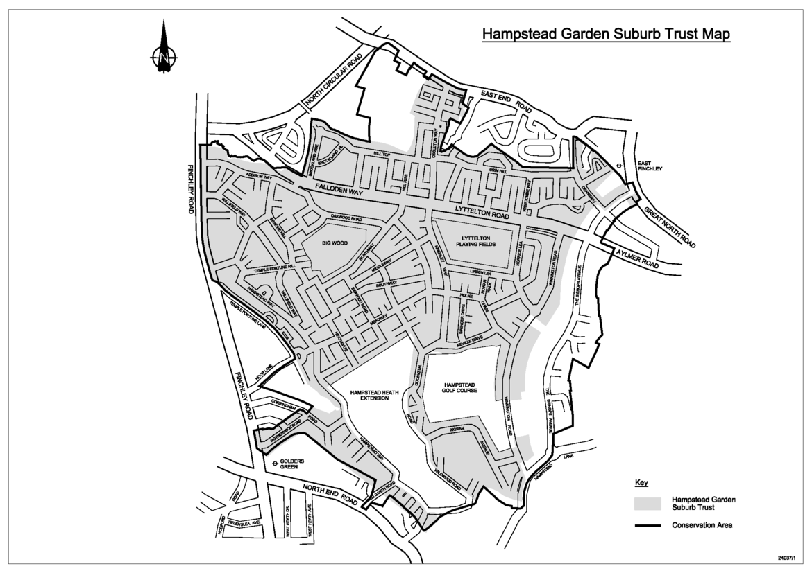
The acquisition of the land now compromising Hampstead Garden Suburb was achieved between 1907 and 1911 from a jigsaw puzzle of seven separate lots. Building began in 1907 on the 243 acres of the Wyldes estate purchased from Eton College which form the major part of the 'Old Suburb'.
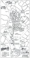
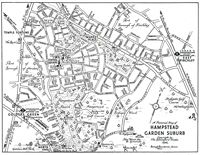
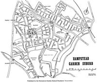
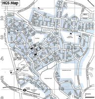
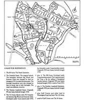
The Unwin map of 1911, below, shows the overall plan for the Suburb with completed houses in black. By 1914 most of the land to the south and west of Central Square was developed, both the cottages and the larger houses proving very popular with the type of residents at which they were aimed.